Client: Edson Williams and Associate, CEAC Solutions Co. Ltd., Jamaica Social Investment Fund (JSIF)
Location: Jamaica
Date: 2021 – ongoing
Síor Consulting Ltd. (Síor) was commissioned to participate in the development of Jamaica’s National Risk Information Platform (NRIP), thereby enhancing the country’s approach to safety and environmental risk reduction. This platform was envisaged to serve as a vital tool for decision-makers, offering in-depth insights into hazard, vulnerability, and exposure, and helping to formulate a comprehensive risk-profile database for Jamaica. NRIP is expected to critically inform future strategies in sustainable and climate-resilient infrastructure development, land use planning, and several other socio-economic sectors.
NRIP was developed to elevate Jamaica’s approach to safety and environmental risk management. Specifically, the project called for the development and implementation of the following geoscientific and technology components:
- In-depth insights platform, providing comprehensive views on hazards, vulnerabilities, and exposures.
- Risk profiling toolset, offering a consolidated risk perspective for Jamaica.
- Custom geoscientific products, tailoring geoscientific assessments to Jamaica’s specific needs.
- Training and capacity building, including programs to empower government staff on platform usage.
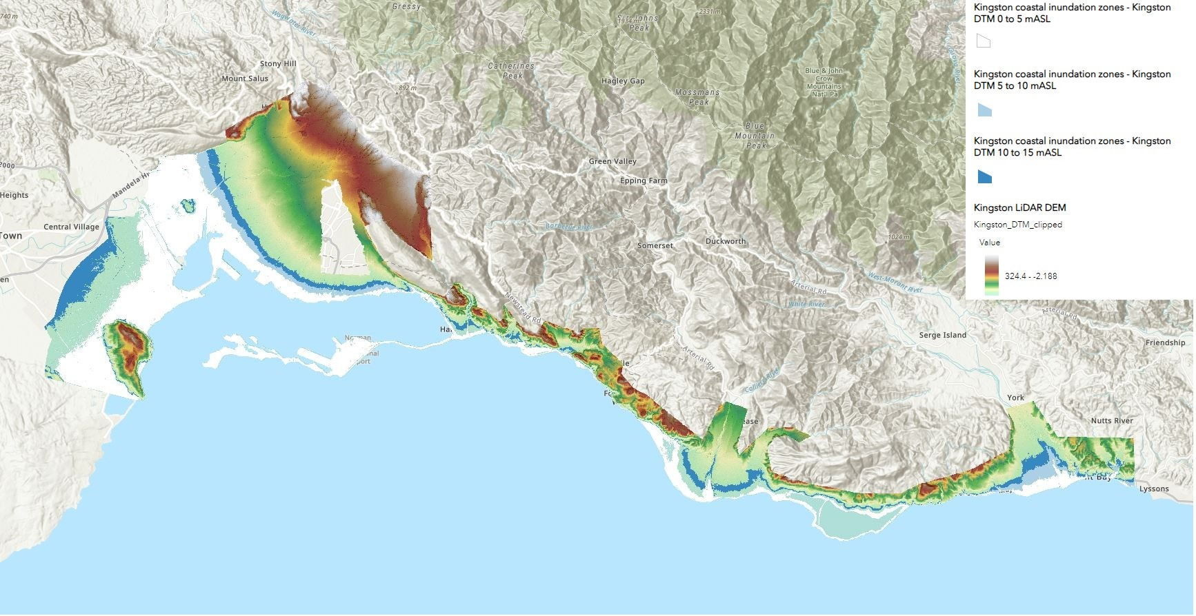
- Development of LiDAR-derived coastal, hydrological, and geomorphological hazard products in three study locations in Jamaica.
- Development of geoscientific hazard and risk modelling toolsets and case studies implemented and delivered leveraging both licensed (ESRI) and open source (WhiteboxTools) Python APIs.
- Preparation of documentation to support uptake of products, toolsets and case studies developed.
- Delivery of stakeholder engagement and training (3-month) program for government staff, focused on geoscientific and geospatial skills and platform uptake.


