Project Details
Client: GWP Consultants LLP and HS2 Ltd
Location: UK
Date: 2020 – 2021
Project Requirement
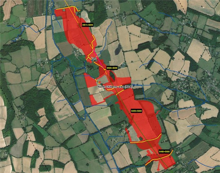
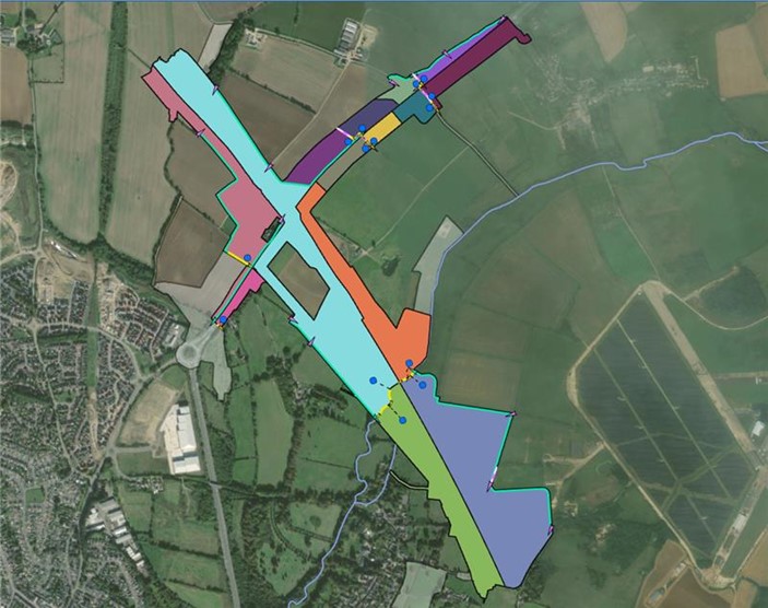
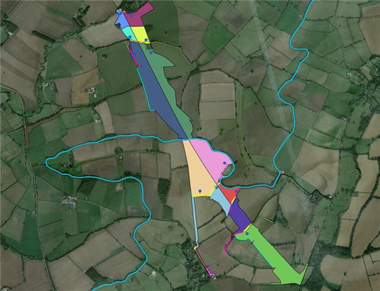
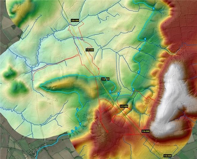
To ensure The HS2 Project Teams had technical advice, support on geospatial procurement, management and suitable analysis which supported temporary works drainage design and flood risk for the HS2 Project for Section C2 and C3 (85 km) of the High Speed 2 (HS2) railway project. Which included safeguarding of groundwater environmental receptors over 3,600 km2.
Project Solution
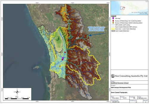
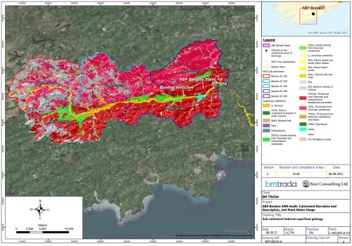
The team at Síor Consulting Ltd developed an efficient and accurate process of geospatial analysis and modelling, including development of a detailed Digital Elevation Model for hydrological characterisation including definition of storm run-off routes, catchment areas and coefficients. Through development of a GIS based Collectors App, data could be verified in the field and shared seamlessly back to our model environments. Síor Consulting produced drawings and a series of geospatial software products including 3D flythough videos and WebApps to share findings directly with the client.
Project Benefit
To support informed decisions to minimise HS2 temporary works impact on the environment.
Areas of Expertise
- Geospatial Solutions: Geospatial Analysis and extensive use of GIS
- Water Resources: Hydrogeological Analysis
- Environmental Risk
- Environmental Data Science: Programmer/App Development
- Project Management
Delivered Solutions
- Data and geodatabase management
- GIS environmental analysis
- Hazard/risk analysis and mapping
- Stakeholder engagement
- Production/programming of automated (VBA-, JAVA-, Python-based) GIS workflows
- Production and use of LiDAR-derived Digital Terrain Models for hydrological characterization
- Aerial and satellite remotely sensed multispectral landcover and land use classification
- Production of spatially and temporally distributed parameterization for GIS-based hydrological models
- Data analysis visualisation through production of automated GIS drawings, 3D-fly through videos, and WebApp developments