Project Details
Client: GWP Consultants LLP and HS2 Ltd
Location: UK
Date: 2020 – ongoing
Project Requirement
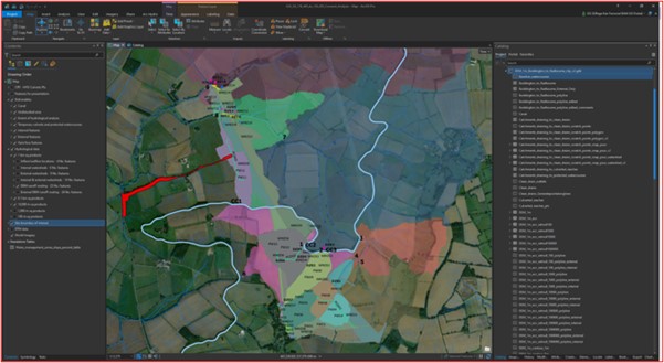
Síor Consulting Ltd were engaged by the Client to develop and populate GIS based Apps, provide appropriate training to the Client update the Apps as required and undertake stockpile and drone imagery compilation, on the HS2 groundwater risk project for Sections C2 and C3 (85km).
Project Solution
The team at Síor Consulting Ltd utilised their GIS and programming expertise to develop innovative web-based Apps for Client use, enabling management, sharing, compilation and procurement of data for the temporary HS2 enabling & construction works.
Project Benefit
To enable innovative geospatial and WebApp based solutions for the Client in supporting informed decisions and efficiently sharing/managing existing and new project data.
Areas of Expertise
Geospatial Solutions: GIS, Geospatial Analysis
Environmental Data Science: Programming/App Development
Project Management
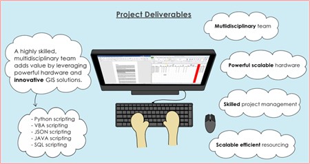
Delivered Solutions
The activities undertaken included the following
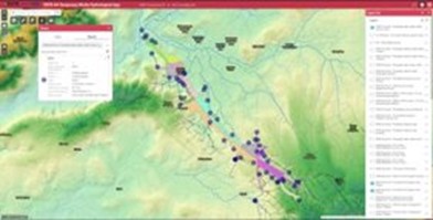
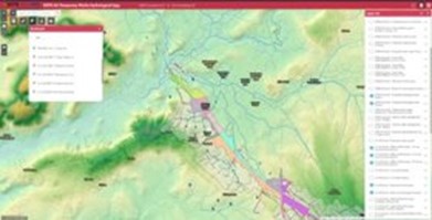
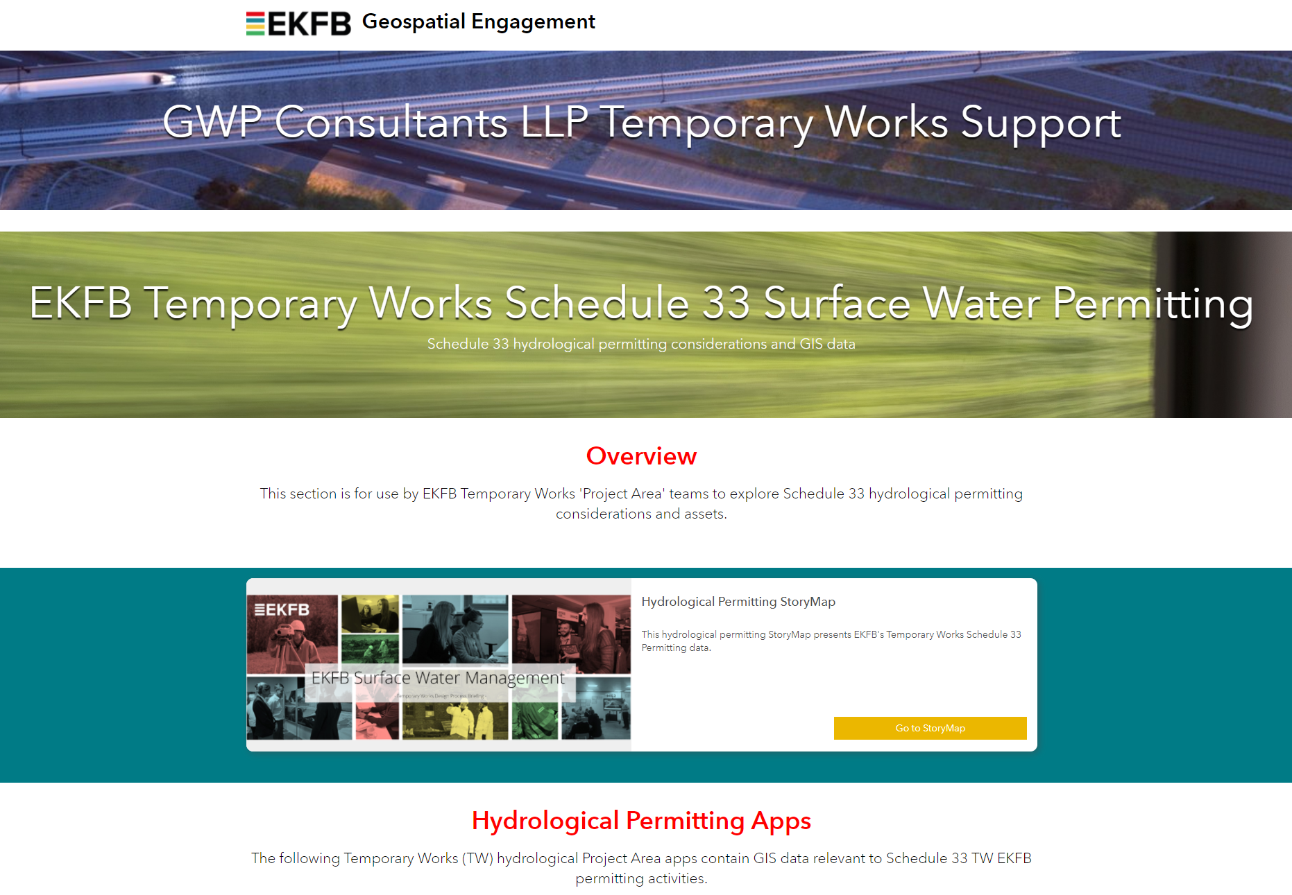
- Development of a Hydrology Web App
- Populating the Hydrology Web App with Client hydrological products and reports
- Updating the Hydrology Web App with relevant third-party data;
- Development of a Hydrological Consenting Story Map
- Populating the Hydrological Consenting App with Client hydrological products and reports
- Updating the Hydrological Consenting App with relevant third-party data
- Integration of Stockpile Elevation survey data into Client DTM data
- Compilation and integration of regular HS2 Drone survey data
- Development of a Field Data Collection App
- Provision training support to the Client on Field App
- Maintaining/Updating the Field App
- Hazard and risk analysis and visualisation
- Stockpile modelling
- Automated (VBA-, JAVA-, Python-based) GIS workflows