Client: Confidential
Location: Germany
Date: 2021 – Ongoing
The Client required a robust set of solutions for managing the geospatial aspects of their online platform, including:
- Assuring the quality and consistency of the geospatial climate risk datasets to be used to inform credit allocation in Africa, Latin America, and the Caribbean region.
- Developing a data pipeline for collating, processing, visualising, and deploying the geospatial climate risk data.
- Developing a geo-coding solution to localise requests from end clients and integrate full geospatial functionality into the Client’s API and online platform.
Síor Consulting enhanced the Client’s platform with the following capabilities:
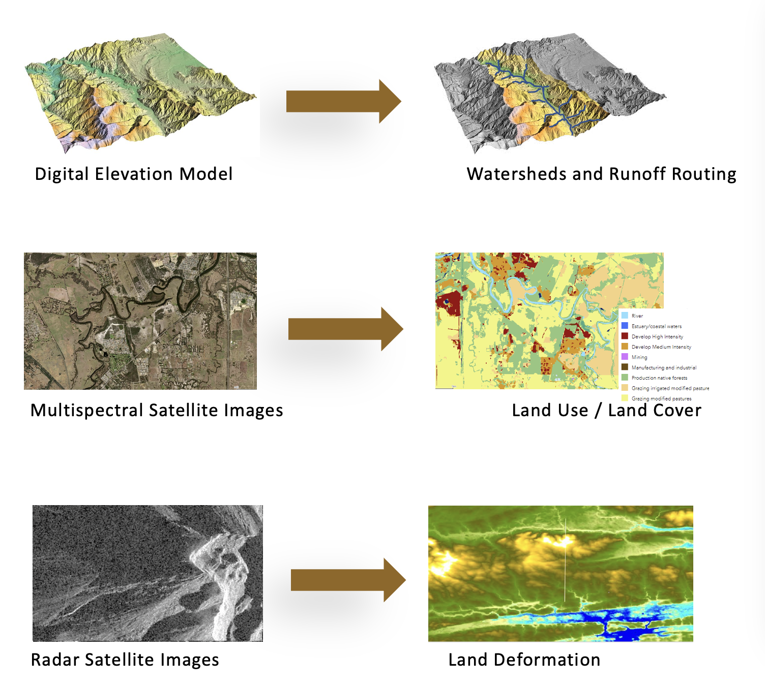
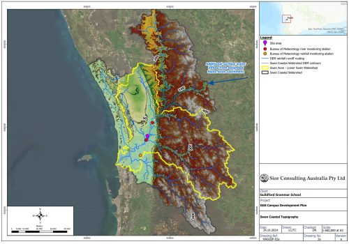
- Collation and quality review of geospatial climate risk datasets (including flooding, extreme heat, drought, and frost) for the entire African continent, Latin America, and the Caribbean region.
- Development and implementation of automated processing routines for the integration of data associated to a range of climate risks, ENSO scenarios, and monthly variations into a unified geospatial product.
- Development and integration of geospatially enabled modules into Client’s platform (API), enhancing its functionality and versatility.

Climate finance is crucial for driving global efforts against climate change, targeting both mitigation and adaptation strategies. The complexity of climate-related hazards, such as shifting weather patterns and changing land use, demands expert geoscientific and geospatial analysis.
Síor Consulting Ltd. (Síor) was commissioned by a confidential Client in the climate finance arena to provide geoscientific and geospatial expertise for the development of an online platform geared towards informing decision-making for financial service providers looking to consider climate risks associated with issuing micro-credits to farmers in the Global South.


