Client: Magnum GSI
Location: UK
Date: 2022 to on-going
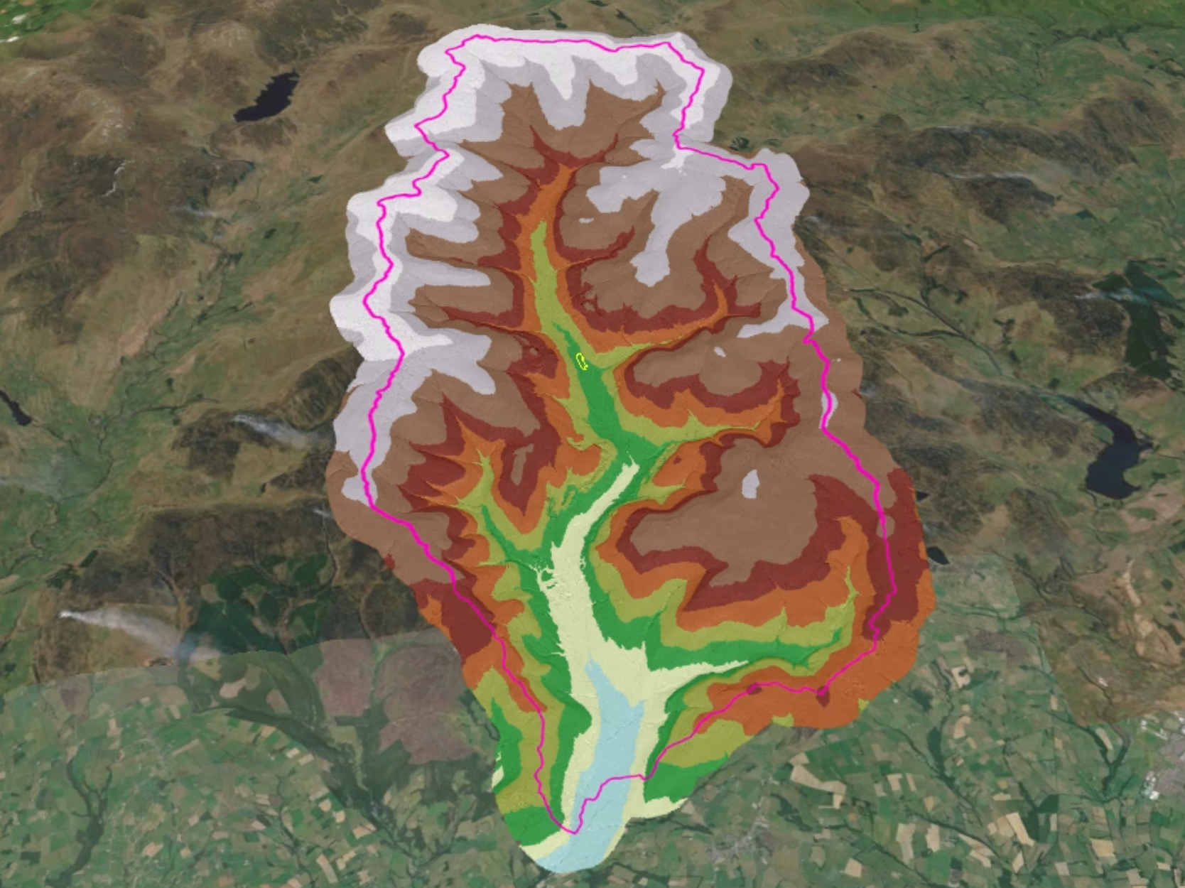
The demand for lithium has surged in recent years due to its critical role in battery technology and renewable energy storage. Efficient exploration and extraction of lithium require a deep understanding of structural geology, mineralized formations, and optimal drilling locations. In response to this, Síor Consulting Ltd. (Síor) was commissioned by Magnum GSI to provide advanced GIS modelling and data-driven exploration solutions to support lithium target identification in the UK.
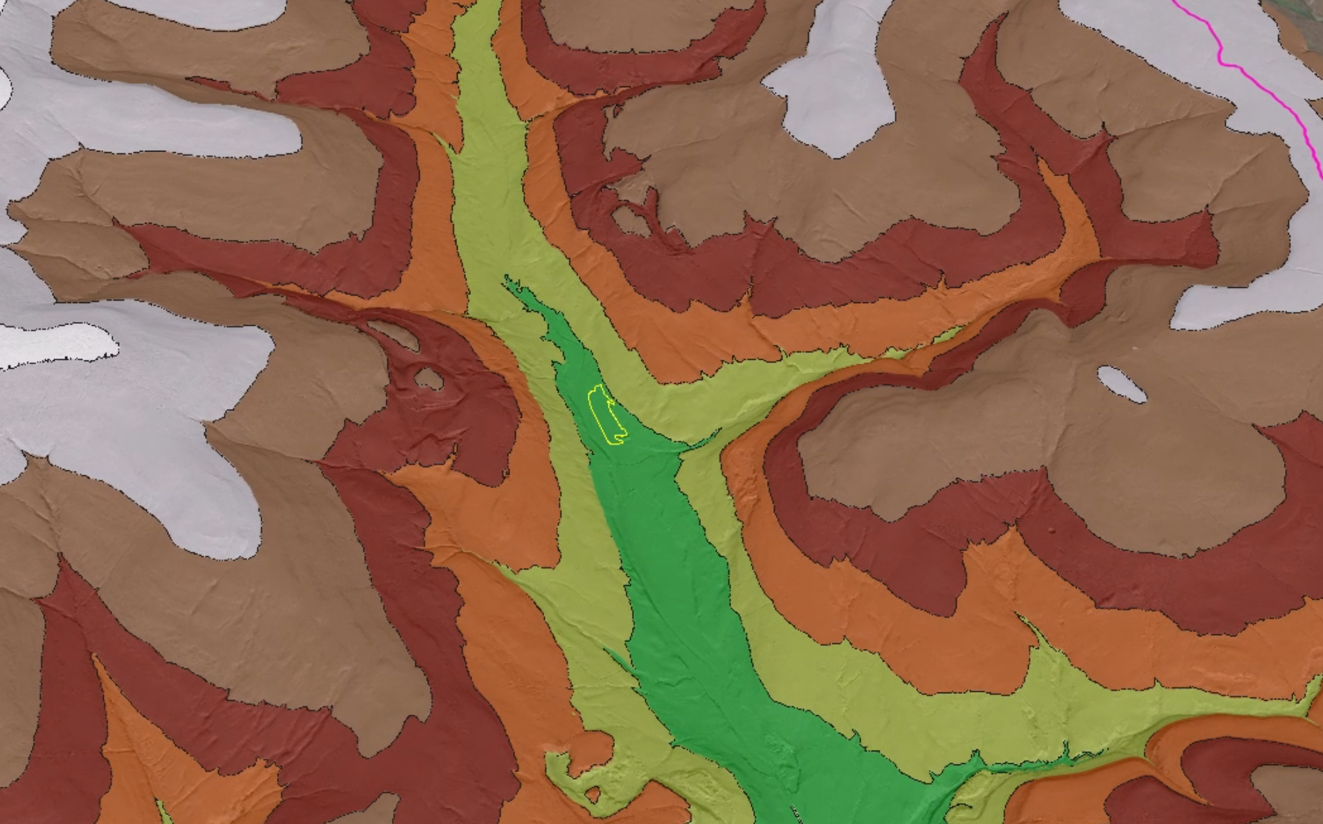
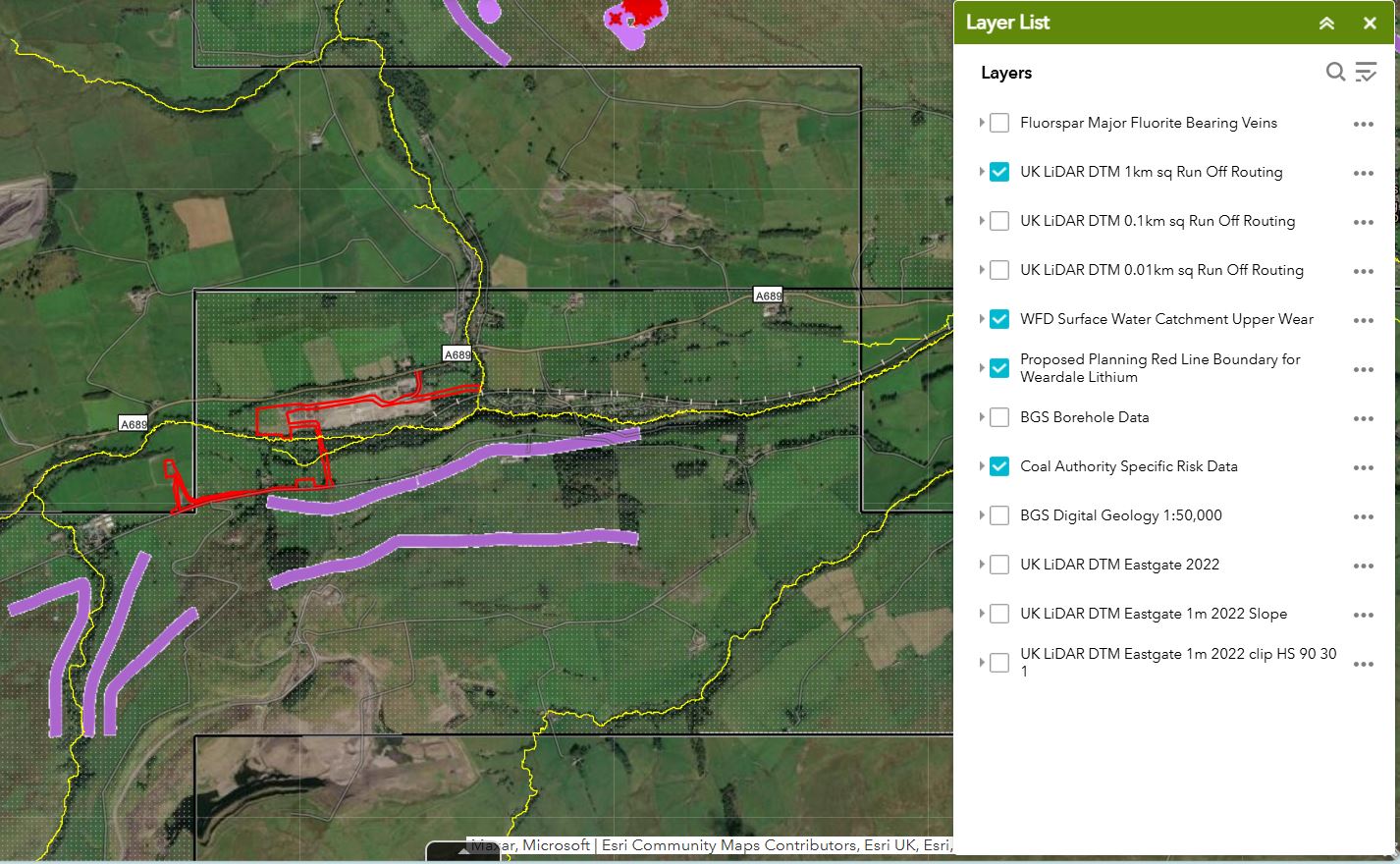
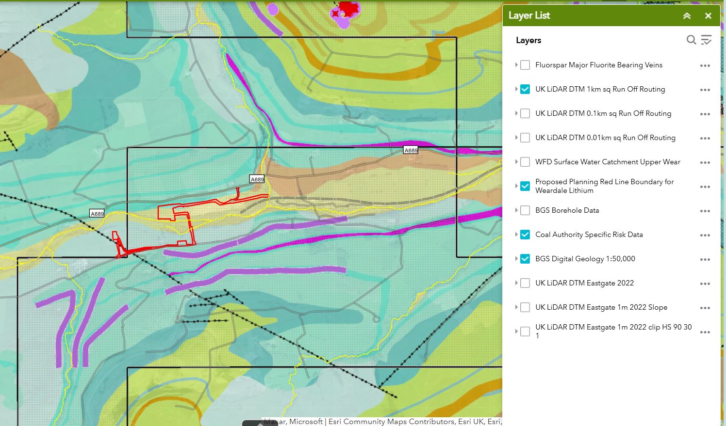
Síor was engaged to develop a robust geospatial framework that integrates structural geology interpretation with real-time onsite data input. The goal was to refine exploration target locations, streamline field data collection, and facilitate the planning of efficient drilling programs.
Síor’s responsibilities include:
- Development of a GIS-based structural geology model to identify high-potential lithium exploration targets.
- Integration of multi-source geological and geophysical datasets to refine exploration zones.
- Design and implementation of a data management framework allowing input and visualisation of field-collected data.
- Supporting the client’s drilling program by providing spatial analysis and predictive modelling for optimal target selection.
- Ensuring data-driven decision-making by facilitating integration of exploration data into broader geological assessments.
Síor applied a geoscience-driven, data-intensive approach to:
- Develop and refine a 3D geospatial application that highlight structural features associated with lithium mineralization.
- Provide geospatial mapping and predictive analytics to enhance the efficiency of lithium exploration campaigns.
- Establish a centralised database that integrates real-time field data collection and analysis, ensuring continuous refinement of exploration targets.
- Deliver a suite of geospatial tools that improve data visualization, fieldwork planning, and resource assessment.
- Support the execution of drilling operations by identifying optimal drilling locations based on geospatial and geophysical insights.