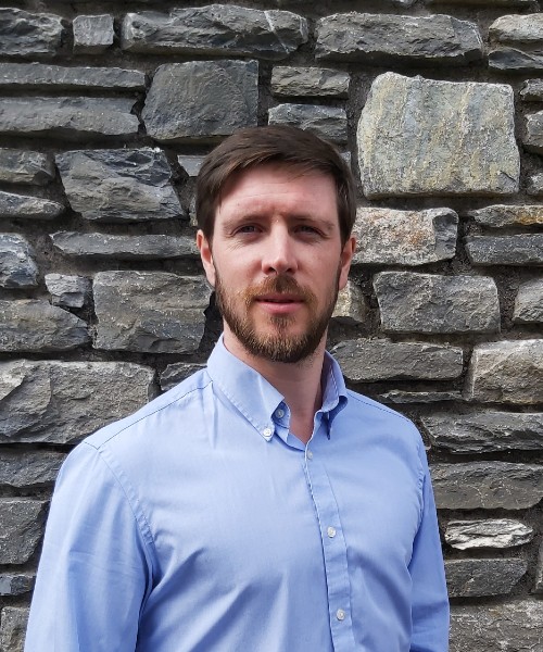
Dónal Neville is a chartered geospatial and hydrological expert, serving large-scale public and private sector projects.
Dónal specialises in leading domain-specific appropriate information technologies (IT) and geospatial software solutions. Coupling chartered geological/hydrogeological and geospatial/IT expertise, Dónal is uniquely positioned to deliver custom-made, Esri and open-source information technologies.
Dónal’s career to date includes a broad range of specific, expert-level, geoscientific and geospatial experiences. Dónal has delivered regional- and large-scale geoscientific and geospatial solutions in:
- Australia and Asia, for the mining sector;
- Pacific and Caribbean for Small Island Developing States (SIDS);
- Germany and South America for financial institutions; and
- Europe, the United Kingdom, and the United States of America, for public institutions and private companies.
BSc Geology, University of College Cork, Ireland
MSc Hydrogeology, University of Birmingham, England
- Global Positioning Systems (GPS)
- Geographic Information Systems (GIS)
- Python programming
- Remote sensing
- Geology, hydrology, hydrogeology
- Planning/hazard/risk assessments
- Land cover use projects
- Technical reviews
- Quality control
- Reporting
- Spatial analysis using GIS technologies, computer programming and scripting (Python & VA)
- Project Management
- Machine learning
- Property
- IT
- International Development


