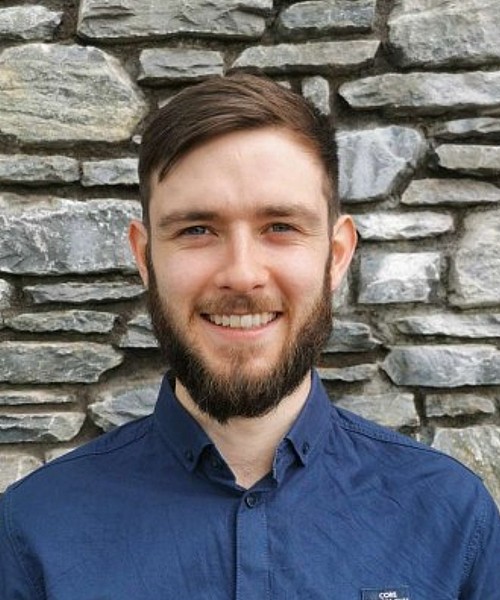
Timothy Neville is a Geologist and GIS analyst at Síor Consulting. Having graduated from University College Cork in 2020, he has moved from a part-time role to a full-time position with Síor as he continues to hone his skillset both in the field and in the office.
Timothy has academic and professional experience in geospatial analysis (ArcGIS Pro, ArcGIS Enterprise, and ArcGIS Online), data processing, data management, field investigations, geophysical surveying, hydrogeology, and stakeholder engagement. In addition, Timothy is responsible for managing Electrical Resistivity Tomography (ERT) geophysical surveying at Síor.
BSc Geology, University College of Cork
- Geographical Information Systems
- Data Management
- Field investigations
- Geology, hydrology, hydrogeology
- Stakeholder engagement
- Geophysical Surveying
- Electrical Resistivity Surveying (ERT)
- IT
- JavaScript
- JSON
- International Development


