
AREAS OF EXPERTISE
WHAT WE KNOW
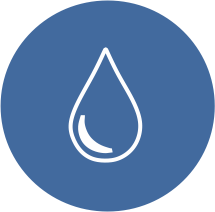


Water Resource Evaluation
Field and desk based resource evaluation tools
- Resource conceptualisation
- Resource definition methodology design
- Deployment of GIS based remote sensing exploration tools
- Deployment of physical resource exploration tools: drilling (supervision only) and ERT (deployment)

Development & Management
Resource development (borehole drilling supervision), monitoring and management experts
- Resource abstraction and monitoring well construction design and supervision
- Water level and chemistry monitoring design, deployment and supervision
- Resource ‘health’ monitoring and evaluation

Water Resource Modelling
Resource analytical, numerical and GIS based modelling experts
- Analytical, numerical and GIS modelling to determine water availability, longevity and response to exploitation, natural hazards or climate change

Team leader: Donal Neville

Ground Risk Evaluation
Ground models, interpretation and ground risk evaluation, including reporting
- Analysis and interpretation of factual ground related data (mapping, logs, laboratory testing, statutory provider and other stakeholder data etc.) to produce accurate and predictive ground models
- Evaluation of ground related risks
- Geohazard evaluation and mapping
- Site walkovers to gather relevant data
- Desk studies
- Ground Investigation Reports (GIR)
- Geo-environmental advice/reporting
Geotechnical Design & Analysis
Geotechnical design, analysis & reporting
- Eurocode compliant
- Ground model interpretation and derivation of design parameters
- Slope stability analysis and assessment
- Foundation design
- Retaining wall design and analysis
- Earthworks assessment
- Strengthened Earthworks design and assessment
- Rockmass evaluation and characterisation
- Tunnelling and trenchless technology
- Interpretive reporting – Geotechnical Design Reports (GDR)
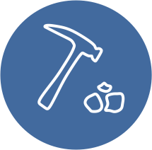
Ground & Site Investigations
Site based services – ground investigations, site supervision, site management
- Ground investigation design, planning and procurement
- Contract management
- Health and safety documentation and risk evaluation
- Site supervision/site agent/management
- Logging and log preparation
- Factual reporting
- Laboratory test scheduling and procurement/liaison
- Geological and geomorphological mapping
Team leaders: Tristan Morgan

Modelling & Understanding Environmental Interactions
Through innovative methods and solutions our community we explore environmental understanding from Earth Observation data. Whether it be understanding drainage within a basin from LiDAR, using machine learning to classify landcover or mapping climate hazards from satellite products.

Processing & Analysis of Environmental Datasets
Sior’s processing hardware and power is world leading, having processed imagery for the second largest basin in the world the Congo Basin. With a vast knowledge of Environmental Observational Data from LiDAR, satellite and real time data collection.

Visualising Complex Environmental Dynamics
Our community aims to unlock the full potential of each dataset we work with. Through the use of Machine Learning and AI, we identify patterns and complex relationships in and between datasets to aid understanding of the world around us.

Team leaders: Marc Girona, Donal Neville

Natual Hazard Data Analysis
Through development of risk geodatabases, creating customised decision making models to intuitive visualisation of risk output, Sior provides comprehensive technical support for natural hazard analysis. The main areas we specialise in are Hydrological Risk Hazard, Climate Risk Hazard, & Geotechnical Risk Hazard.

Hazard & Risk Mapping
Whether as a WebApp, StoryMap, drawings or 3D flyover video, Sior has the modern software understanding to visualize hazard, exposure, vulnerability and risk mapping in an interpretable and intuitive format. Our team draws on the power of geospatial data to highlight at risk areas by statistical relationships between the components of risk.

Resilience & Adaptation Plans
Our team infers insight from hazard, risk, exposure and adaptive capacity maps to prepare resilience strategies and adaptation plans for sustainable development, restoration or other practices.
")
Team leaders: Marc Girona, Donal Neville

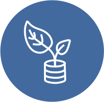
Resource & Financial Management
Robust and effective time, resource and financial management
- Resource planning & management – ensuring projects are adequately resourced with appropriate skilled and competent individuals
- Financial planning & management – staying on budget
- Time management – meeting key delivery dates

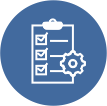
Change Control & Risk Management
Change management/control and risk management
- Ensuring clear scope definition, assumptions, exclusions, and caveats
- Preparation and management of risk registers
- Management and control of change e.g., additional scope

Client Relationship Management
Effective communication and liaison including client relationship management
- Collaborative working
- Client focussed delivery
- Effective communication and liaison across project teams, client and stakeholders
- Client relationship management
- Ability to prioritise, adapt and challenge/hold project teams/clients accountable where necessary

Team leader: Tristan Morgan