Client: Magnum GSI
Location: Ireland
Date: 2021 – 2022
Síor Consulting Ltd. (Síor) was commissioned by Magnum GSI to support a project aimed at promoting a more interconnected global community.
As the world becomes increasingly interconnected, nations can more readily access each other’s energy resources. This project aimed to characterise ground surface deformation along the route of an existing sub-surface High Voltage Direct Current (HVDC) cable installed within Irish highways infrastructure. This cable forms part of a critical network connecting the electrical grids of the UK and Ireland.
The project was carried out by Síor’s multidisciplinary team, drawing on their geoscientific expertise to accurately characterise surface deformation along the HVDC cable route.
Síor’s responsibilities included:
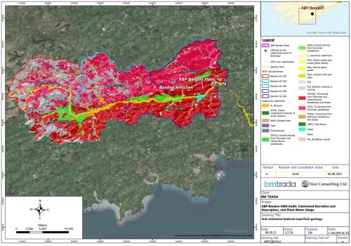
- Review of HVDC installation designs, as-built records, and auxiliary data to map ground deformation risk profiles and inform the development of an inspection program, identifying areas at high risk of surface deformation.
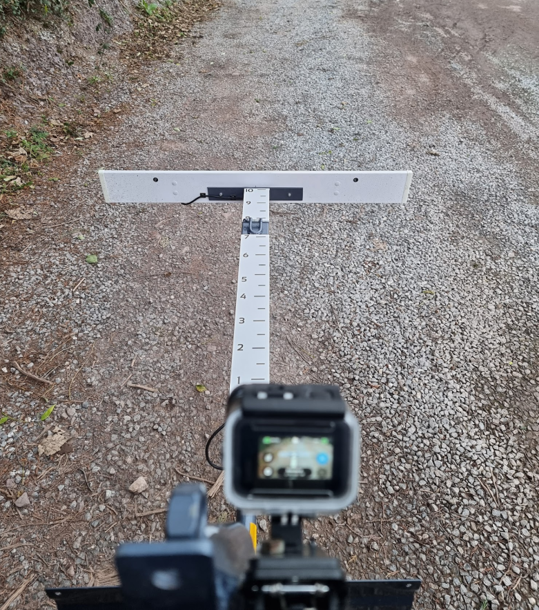
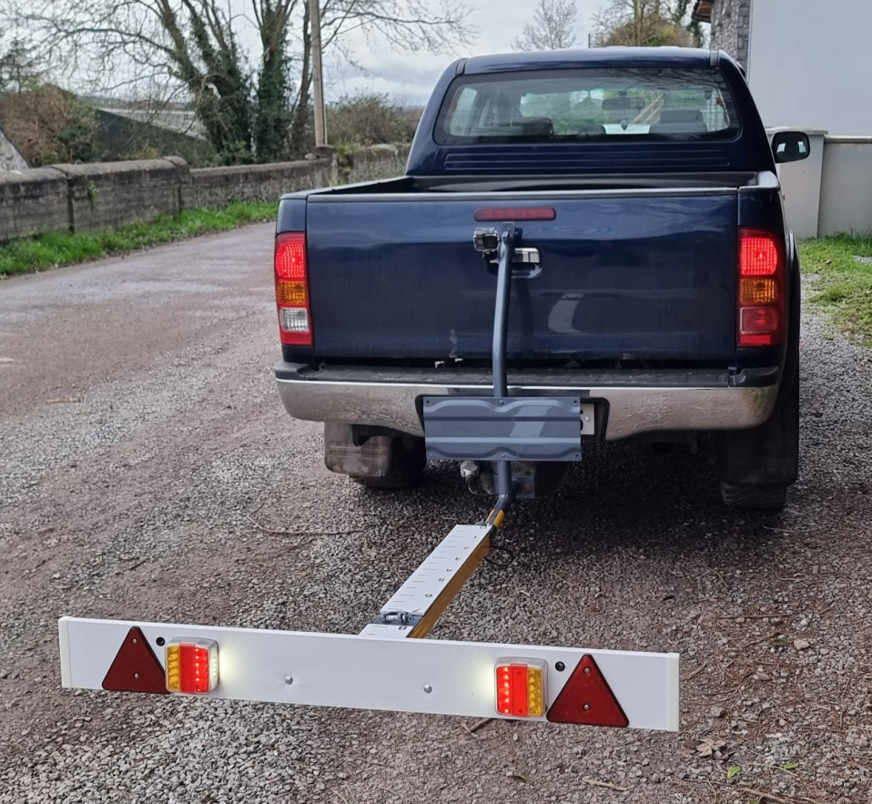
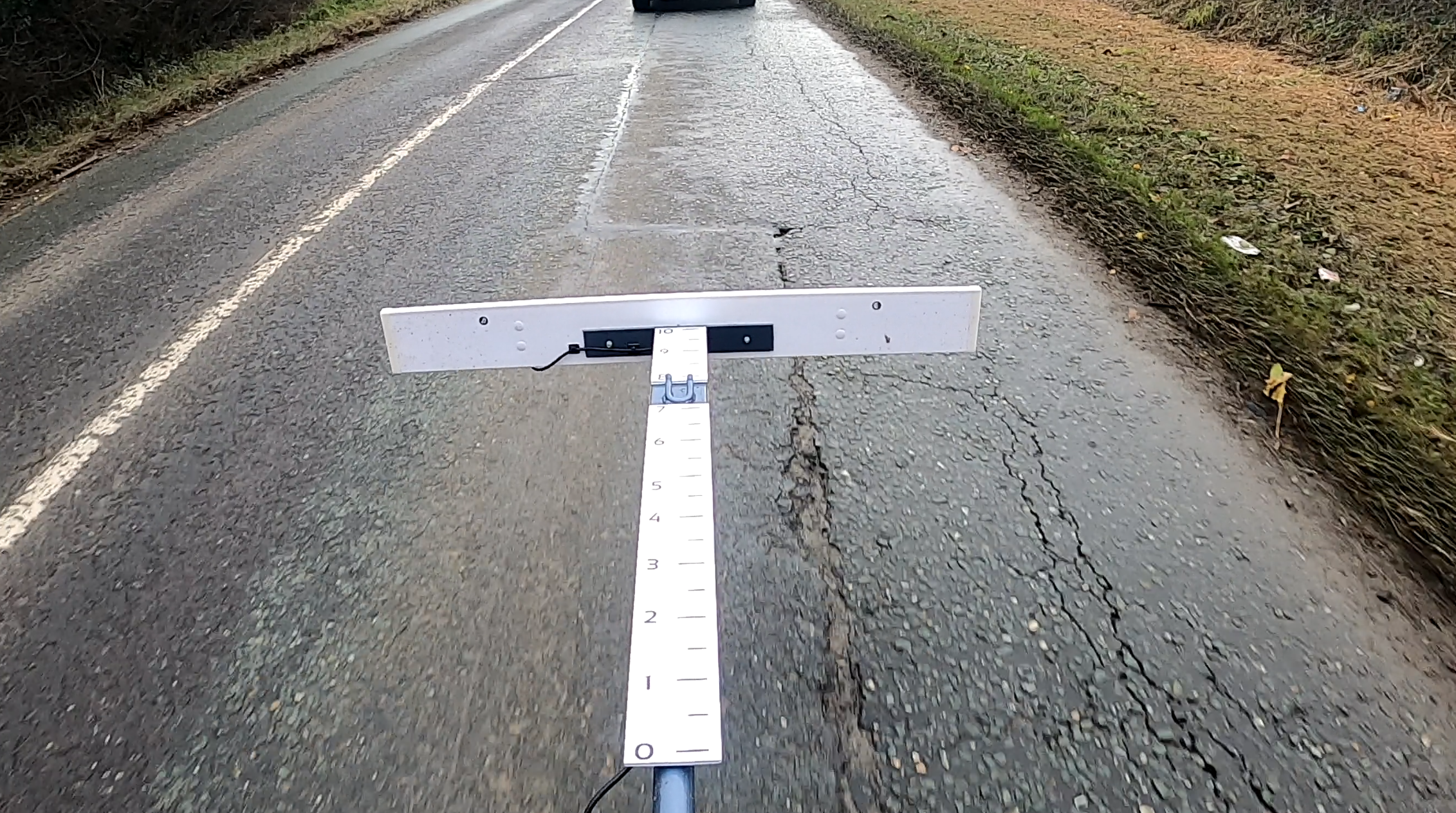
- Acquisition of field survey data along a 41 km stretch of the HVDC route within Irish highways infrastructure to characterize surface deformation and support office-based analysis. This includes grading surface deformation features according to a client-defined scale.
- Production of a defect report accompanied by a customized geoscientific geospatial mapping application.
- Grading of surface deformation features as per the client-defined scale.
Síor applied its collective geoscientific expertise to:
- Conduct a comprehensive, data-driven geospatial analysis to guide field data acquisition activities.
- Design and develop a custom vehicle-mounted video camera system.
- Perform detailed field data collection, combining point-specific measurements with continuous 7k 60FPS video footage along the 41 km stretch of the HVDC route.
- Process and manage geospatial data, resulting in the delivery of customized web applications for the Client.