


What is Google Earth Engine? Google Earth Engine (GEE) is a cloud-based platform that allows…
Introduction: The world of GIS and geospatial data
GIS = Geographic Information Systems

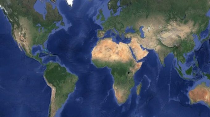
Everything happens somewhere, providing a wealth of potential location data. The geospatial data realm has progressed considerably in the last 50 years. Progressing from basic maps and photos to geodatabases contributing to digital map content amalgamating layer upon layer of data for the curious navigator.
“In the strictest sense, a GIS is a computer system capable of assembling, storing, manipulating, and displaying geographically referenced information, i.e. data identified according to their locations. Practitioners also regard the total GIS as including operating personnel and the data that go into the system.” USGS
Geographic information systems (GIS) are a means of gathering, managing and analysing such spatial (location) data. Rooted within geographical science, they enable visualisation and analysis of such data through ‘layers’ of information, gathering deeper data insights through identifying patterns and monitoring trends for decision making.
The potential application for this evolving technology is vast and expands everyday as big data becomes more readily available and central to how the world is functioning, providing fresh perspectives for solutions.
GIS consists of:
- Computer Hardware – the computers themselves which are used to capture, store, display graphics and process the data.
- Computer Software – the program e.g. interactive map which can be used by the user to work with and analyse the data; this is often referred to as a GIS application.
- Digital Data– the spatial data to view.
There are essentially two basic GIS data formats:
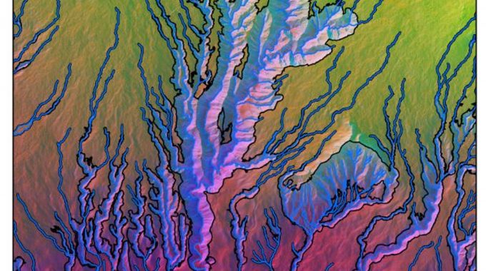
- Raster: gridded data format made up of pixels (or cells) often created from remote sensing through satellite or airborne flown devicesto represent data which is scalar e.g. temperature and elevation.
- Vector: Point, line and polygon format, often used to demonstrate categorical data or spatial relationships e.g. boundaries and infrastructure. Vector data is often collected through GPS.
Throughout our blog posts we will aim to share our expanding GIS knowledge, how we strive to continue increasing our efficiency and explore the ever-evolving innovative applications of GIS.
Related Posts
Comments (0)